Chippewa Drive and Cherokee Drive Greenway, 4-5 p.m., Sept. 5, Nakoma Park, near the intersection of Cherokee Drive and Nakoma Road
Nakoma Road Ave., 2-3 p.m., Sept. 12, Nakoma Road and Manitou Way at the limestone wall
Odana Pond, 6-7 p.m., Sept. 12, Odana Hills Park near intersection Milward Drive and Dearholt Road
Orchard Ridge Valley Park, 3-4 p.m., Sept. 19, Orchard Ridge Valley Park entrance off of Loruth Terrace
Project Description
The City of Madison will complete a watershed study in the Wingra West watershed (as shown below). A local consulting engineer, Brown and Caldwell, will complete the study.

The Wingra West watershed drains east to Lake Wingra.
Timeline
The studies are expected to take over 18 months. During this time, the city will look at watersheds as a whole to make sure solving a flooding problem upstream won’t push more water downstream and cause more flooding.
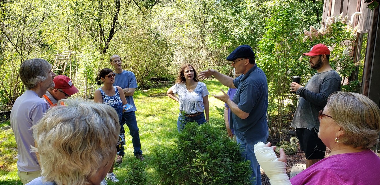
Public Information Meetings
The first public information meeting for this watershed was held on May 1.
Wingra West Watershed Public Information Meeting presentation PDF
Watershed Study Information
To learn more about flash flooding and why the City is completing a watershed study in this area please visit: Flash Flooding Resilience Story Map
Listen to a presentation about the City’s watershed studies at: Watershed Studies 2019 Audio Presentation
Report Flooding
If anyone has experienced flooding, and is willing to share with the City, please report it on the City’s website. Even if a homeowner reported flooding to 2-1-1, FEMA, or a City official, the City needs standardized information to create stormwater models that show existing flooding conditions. The flood data helps the City prioritize different flood projects and future watershed studies.